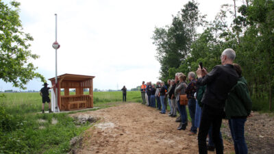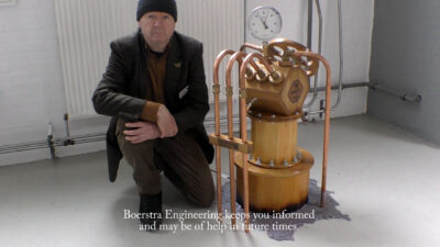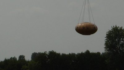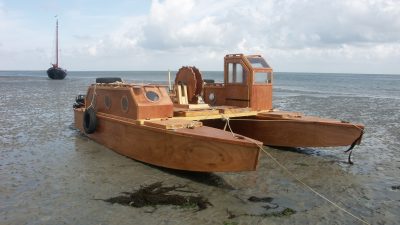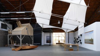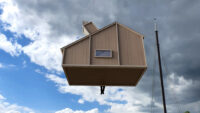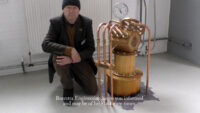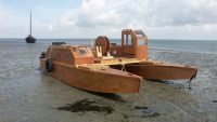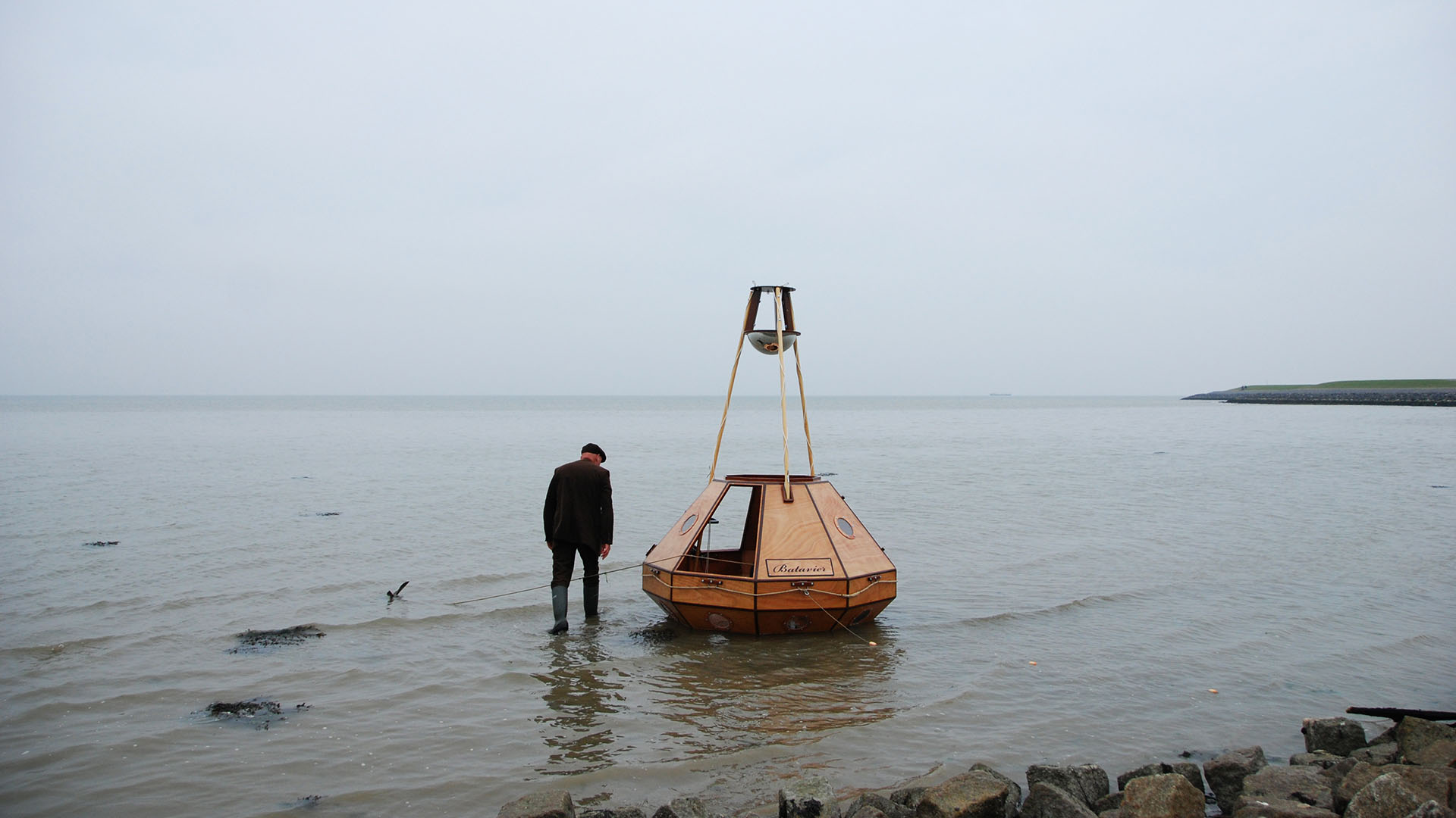
Batavier
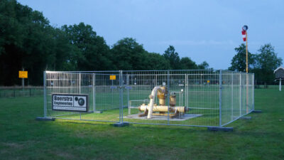
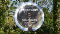
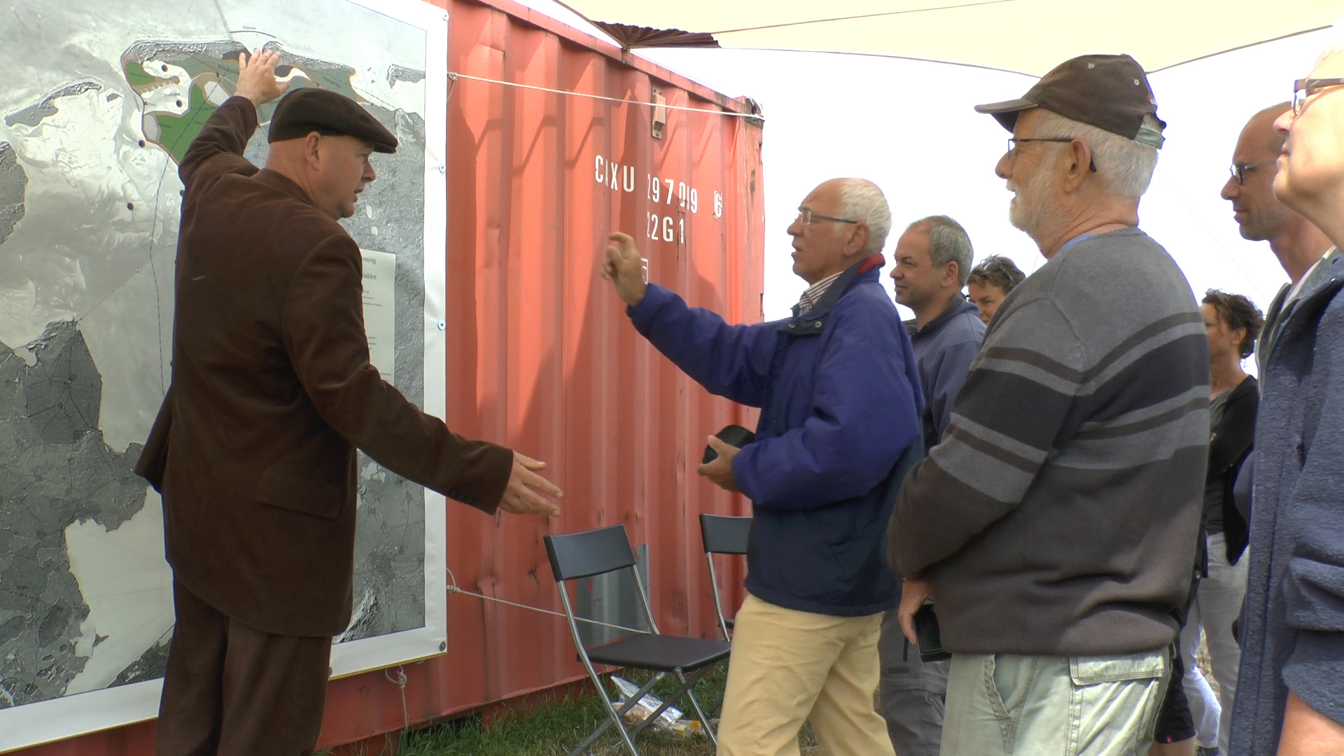
Scientific instrument and Plan Boerstra
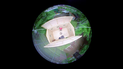
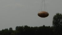
The capsule Batavier is a flying and floating measuring instrument that is able to capture the landscape from different points of view.
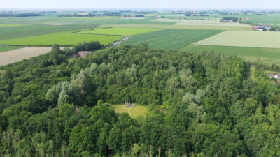
From the ongoing tradition to take land from the sea, Boerstra designes ‘Plan Boerstra’, using the Batavier as a guard to prevent from making the mistakes of past human landscape interventions.
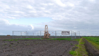
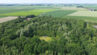
‘Plan Boerstra’ focuses on creating a new polder between Terschelling and Ameland in the north of Holland. With the knowledge and expertise from museum Nieuwland in Lelystad, a map is created as a third step in commemorance of the twentieth century ‘Plan Lely’.
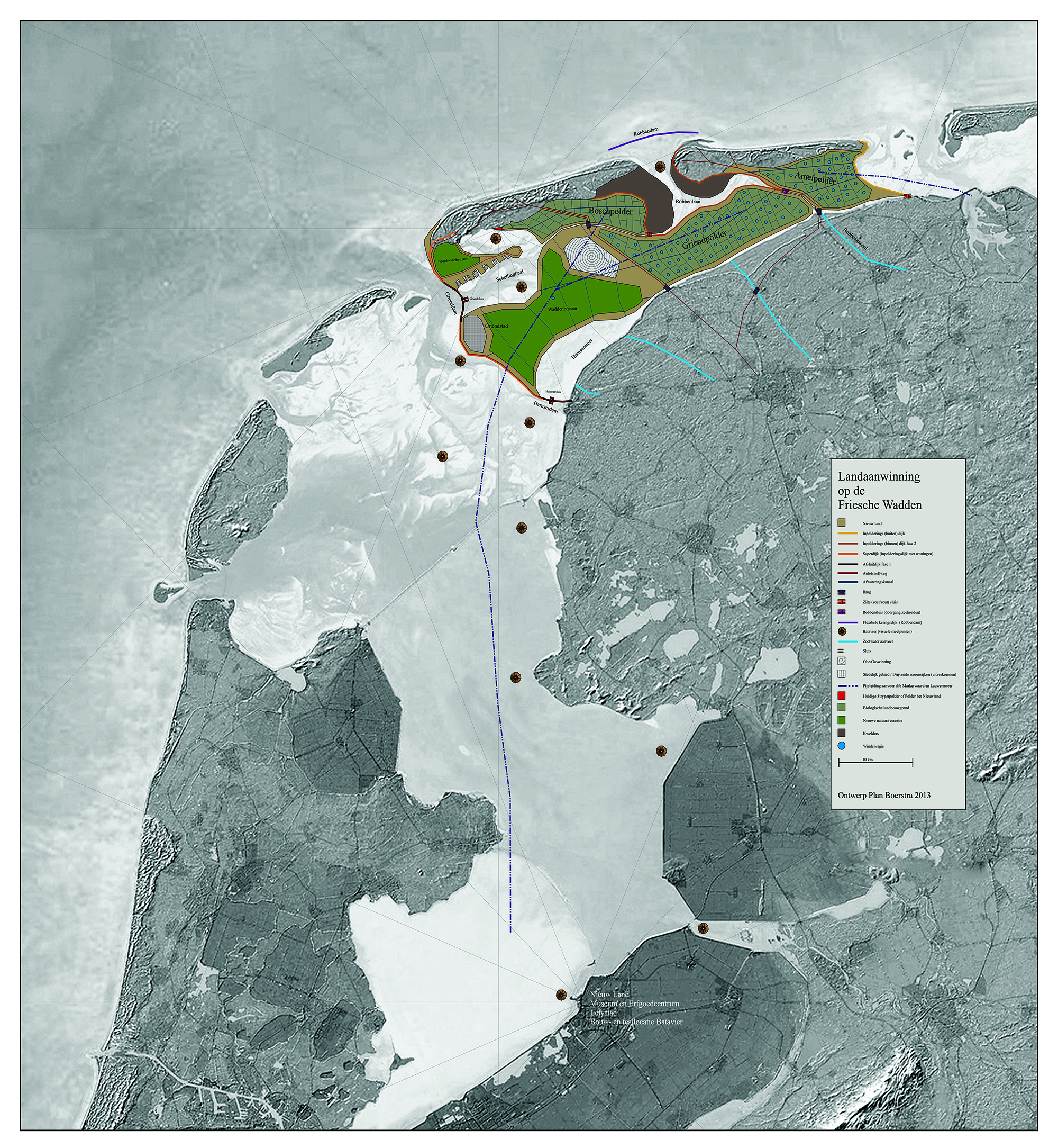
Plan Boerstra
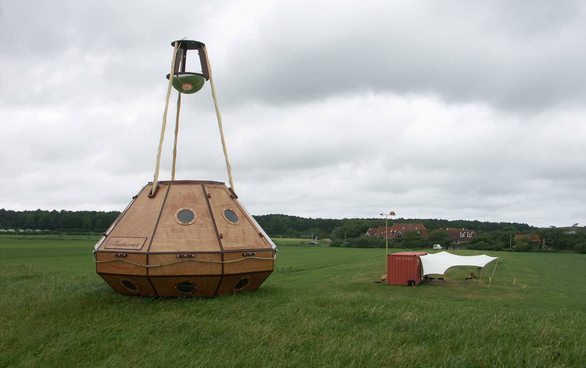
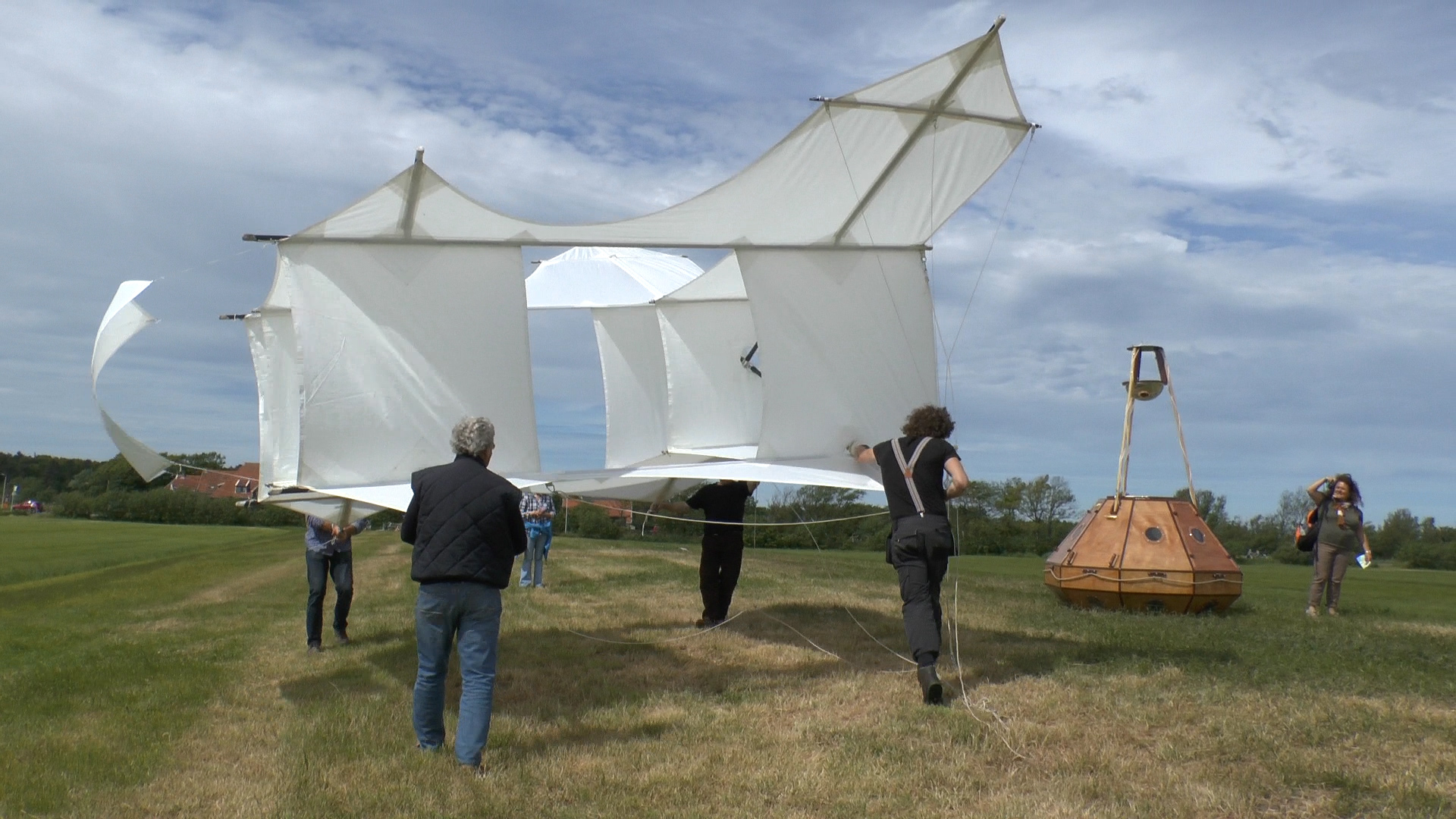
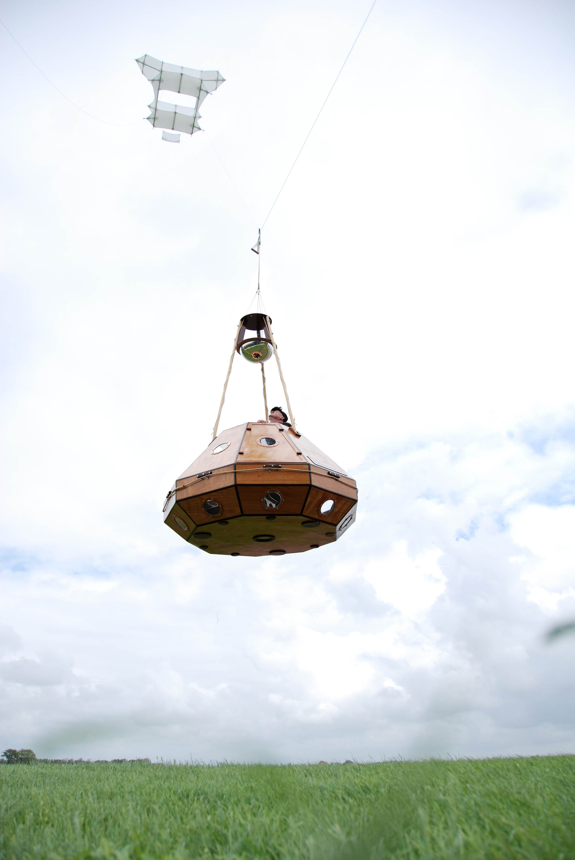
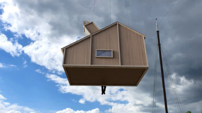
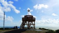
To lift the Batavier, Boerstra built a classic Cody kite with a wing span of 9 metres.